While checking out the IC/Yazoo Depot, I noticed a towboat a couple of blocks up the street. So I had to check that out also.
 |
| 20181230 6946c |
 |
| Jack Tanner Towing shared Layne Logue's post Moving the M/V MISSISSIPPI IV down Business 61 and Levee Street to the resting spot at the Lower MS River Museum (www.lmrm.org) was challenging! Power lines had to be removed and traffic stopped. Vicksburg, Mississippi |
I took advantage of the "dry dock" view of a towboat and got some details of the propulsion equipment.
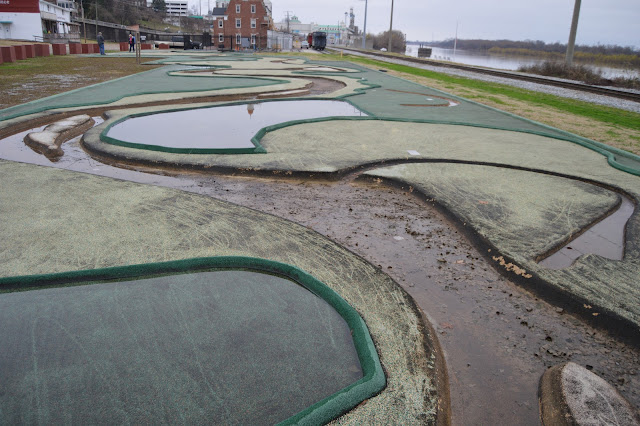
An overview looking "upstream" on the river model.
Riverboats visit the area.
 |
| Don McGaughey, Dec 2017 |
I wonder if one of the topics that the USACE studied with the flood model was meanders. Look at the state boundary line in this satellite image. Downtown Vicksburg used to be on the Mississippi River. Vicksburg is lucky that the Yazoo River fed into that meander so that Vicksburg is still a river town. Grayville, IL, is an example of a river town that became an (oxbow) lake town.
 |
| Satellite |


No comments:
Post a Comment