Friday, April 26, 2024

Meadville, PA: Erie Backshops

Backshops+Roundhouse: (Satellite, between the tracks and the river. All of the land has been repurposed.)
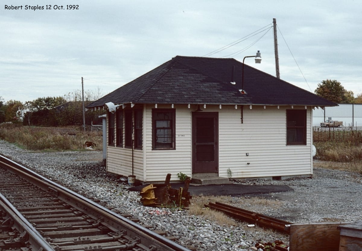
Station: (Satellite, the land has been reused by a street.)

Tim Starr posted
The Erie Railroad shops in Meadville PA around 1970. (Library of Congress)
Dennis DeBruler: Three more photos: https://www.loc.gov/pictures/search/?q=Photograph:%20pa0370&fi=number&op=PHRASE&va=exact&co%20=hh&st=gallery&sg%20=%20true

HAER PA,20-MEDVI,4D--5
5. October 1972. GENERAL VIEW LOOKING FROM THE WEST. - Erie Railway, Meadville Roundhouse, West side of U.S. 6/19 opposite West end of North Street, Meadville, Crawford County, PA

HAER PA,20-MEDVI,4D--4
4. October 1972. GENERAL VIEW LOOKING FROM THE SOUTH.

 HAER PA,20-MEDVI,5--2
2. Photocopy taken by Jack E. Boucher, October 1972, from an original photograph belonging to Miss Bessie McCartney, Chief Clerk, Erie-Lackawanna Railroad, Meadville, PA. GENERAL VIEW OF MEADVILLE STATION, DEMOLISHED 7/72. - Erie Railway, Meadville Station, West side of McHenry Street at West end of Chestnut Street, Meadville, Crawford County, PA

1968 Meadville Quad @ 24,000

Tim Starr posted
Talk about a busy turntable! The Erie Railroad had one of the more colorful histories, with railroad barons, huge accidents, financial catastrophes, and design blunders that astound and amaze. Here is a prime example. Very few back shops would place so much responsibility on one turntable! This is Meadville, PA in 1922.
Howard James Holub: 41°38'28.89"N 80° 9'30.25"W original building that still exists.

Tim commented on his post
Attached Sanborn map. I combined 2 maps into 1 for the book I was writing. From 1922.

There are also HAER photos for some of the buildings: 1, 2 and 3.


Sussex, WI: Moved/C&NW Depot

Original: (Satellite)
Current: (Satellite)

Street View, Jul 2023

The depot has been moved twice. This is the second move.
Mel Virrueta posted
David Koehler: The original location was . what was then , the north /west end of Sussex, off of maple. On the old CNW mainline, they the moved it behind the ol sentry store near the old Milwaukee Road Bug line. At one time Sussex had a Soo Line, Milwaukee Road and CNW station , this was the only one left.

SOO was the north/south route, C&NW was the straight east/west route and Milwaukee was the windy east/west route.
1959 Sussex Quad @ 24,000

1937 Aerial Photo from WIHAP

Minier, IL: "Smash Gate" Junction: GM&O vs. Pennsy

(Satellite)

John Woodrow posted
Pennsylvania northbound crossing GM&0 jackline at Minier Illinois may 30 1967 (Edward Wayne Bridges photo)
Winston Dunbar: I wonder which line generally had the clear signal?
Springfield Model Railroad Club posted
Pennsylvania Railroad in central Illinois!? Yes! The PRR was a huge competitor for the IC right here in central IL. If you look at a system map of the IC and PRR for central IL in the 1950s you'll see an interlocking spiderweb of branch lines. Mostly it was the IC trying to keep the Pennsy from encroaching further into their territory. Here we see a PRR freight crossing the GM&O "Jack Line" (line to Jacksonville) at Minier, Illinois.
Roger Kujawa shared
David Jordan: PRR's market was more east-west, and jointly-owned with the Illinois Central Railroad the Hervey City-Decatur Junction portion of the Peoria District. Competition with ICRR was minimal.
Wes Birkey: I remember as a kid in living in Morton, Pennsylvania had some big freights going through town.
David Jordan: Wes Birkey PRR apparently reduced operations c. 1960, eliminating daily freights between East Peoria and Indianapolis, replacing them with Decatur-East Peoria locals operating six-days-a-week (which previously didn't operate west of Morton). Later, a Terre Haute-East Peoria turn handled through business, and performed local work north of Decatur. I imagine that despite half-ownership of the TP&W, which promoted the Effner routing, PRR still handled lots of Peoria-Pekin industrial traffic, and some Peoria Gateway business such as with the CB&Q. Penn Central's freight service brochure dated December 31, 1968 even shows restoration of East Peoria-Indianapolis through freights!
Dennis DeBruler: David Jordan I learned that Pennsy had trackage rights on the IC between Maroa and Decatur.

Harold J. Krewer answered Winston's question
Looks like the gate position was however it was last used....from Penn Central Southern Region Employee Timetable No. 7, effective May 1, 1975:

David Thompson answered Winston's question
The 1954 GM&O Western Division had the GM&O holding the Normal Position. Perhaps legacy from 9-10 still running.

Dennis DeBruler commented on John's post
Pennsylvania Ave. now occupies the RoW of the Pennsy route.
1952 Minier Quad @ 62,500

Dennis DeBruler commented on John's post
I wondered how Pennsy got here, so I accessed a larger scale map. I confirmed that what is labelled Illinois Terminal on this map used to be a Pennsy route. Pennsy had trackage rights on the IC between Maroa and Decatur. When I learned that the old grain elevator in Atlanta, https://maps.app.goo.gl/eyo9VuBzKuKHWJ4K7, was on a Pennsy branch, I wondered how the Pennsy got there. Now I Know. 1958 Peoria Quad @ 250,000


Thursday, April 25, 2024

Stevenson, AL: 1872 NC&StL + Southern Depot and Lost Grain Elevator

(Satellite, 195 photos)

Andrew Waldo posted
This well-known NC&StL station at Stevenson, Alabama still stands today in all its glory. Built in 1872, it served both the Nashville, Chattanooga & St Louis Railroad and the Southern Railway. Of their joint use, the Engineering Field Notes say this: 
"Pilot [a member of the survey team] claims ownership for NC&StL acct. No contract. Used jointly. Both roads have tracks to bldg."
The team speeder waiting on the NC&StL track is just right of center, not far from some stray(?) livestock "grazing" on the platform. Waiting for the local?
Photo taken 19 June 1916.
Photo Credit: National Archives and Records Administration, ICC Engineering Field Notes, Nashville, Chattanooga & St Louis Railroad, Valuation Section 4 (Bass-Carpenter), Building Notes, Alabama.

Looking at my 1928 RR Atlas, CSX/NC&StL came into Stevenson, AL, from the north and NS/Southern came from the west. They share a route east to Chattanooga, TN. Near this town, NC&StL came in from the northwest while Southern came in from the southwest. They both left to the northeast.
1950 Stevenson Quad @ 24,000

The CSX/NC&StL side has an agent's bay window. 
Strick Yak, Oct 2018

Note that the hotel behind the depot is also extant.
A Douglas Weitzman photo, used with permission
1/3/16. The old NC&StL depot in Ala.. CSX track and other side is NS.
Depot & hotel south of it built in 1872.
[I think Doug has the tracks reversed because the NS side doesn't have an agent's bay window.]
 
Mike Stephens, Feb 2019, cropped
 
Jeff McCrary, Apr 2016, cropped

A Douglas Weitzman photo
The station has a static display of an industrial locomotive and a caboose.

Doug's comment: "#5 a 44 toner,  built 9, 1942, was Rio Grande 39, Mead Container board, # unknown."
I got this older street view because...
Street View, May 2014

...while looking for a decent street view of the depot, I noticed the grain elevator that I saw on the satellite image was torn down. It was torn down by Sep 2023, but they still haven't scrapped some of the bins.
Street View, Feb 2024

Greenwich, OH: B&O Junction (GN) Tower: B&O vs. WE/NW/AC&Y/NOH

(Satellite, it was halfway between Pleasant and Center Streets. It might be still standing.)

WE = Wheeling & Lake Erie
AC&Y = Akron, Canton & Youngstown
NOH = Northern Ohio

Darren Reynolds posted three photos with the comment: "B&Os 'GN' tower   Greenwich,  Ohio"
1
"GN" tower is a one floor " Cabin or Shack " tipe office
That dooted the B&O system. This is just but one I'll be
Posting...
Photo by: Rob Mandeville July 1977

2
CSX Eng-# 6004 ready to pass "GN" tower June 1993
Photo by: Ed lenio

3
Another view of "GN" tower Oct.12,1992
Photo by: Robert Staples
All images from North American interlockings States A to Z and Canada..

The AC&Y track is now abandoned northeast of Greenwich. Note the "AC&Y Trl" on Google Maps. Wheeling and Lake Erie (WE) now owns the AC&Y route southwest of Greenwich. CSX now owns the Big Four route as well as the B&O route. I assume that WE has trackage rights on the CSX tracks to another junction with the WE on the northeast side of  New London, OH.
1960 Greenwich Quad @ 24,000

Note that some of the building on the right is still standing with some new buildings added to it.
May 8, 1959 @ 18,000; AR1VZB000030055

Bowdoin, MT: Lost/Great Northern Roundhouse and Coaling Tower

(Satellite)

Lorrie Bernhardt posted
Defunct Great Northern train roundhouse near Bowdoin, Montana
Hugh Odom shared

Dennis DeBruler commented on Hugh's share
Not only is the roundhouse defunct, the whole town is defunct. It looks like the coaling tower is extant.
 https://www.google.com/maps/@48.3958349,-107.5989031,597m/data=!3m1!1e3?entry=ttu


Willard/Chicago Junction, OH: Yard Towers: (J) and Hump

West End (J): (Satellite, it is gone.)
Hump: (Satellite, it is extant.)

Go here for the railyard, roundhouse and depot.

Darren Reynolds posted five photos with the comment: "B&Os 'J' tower  Willard, Ohio."
Greg Smith: It had a spiral staircase up to the second floor.
"J "tower was at the Westend of Willard yards.. And the
Beginning of the Chicago division. It was built in the early 50s with a NX interlocking machine..
Photo: Unknown February 10, 1987

2

3

4

5
A new "J" tower in this early 50s view
Photo & Date: Unknown
All images from North American interlockings States A to Z and Canada..
Dave Ori: During the late 1940 s and 1950s the B&O would dispatch their fleet of Train 97 from Willard west to Chicago. First Chicago 97 was known as the City Section for Robey Street . Second Chicago 97 was the Barr Yard section while Third Chicago 97 was known as the Local Section which made set-out and pick ups between Willard and Chicago.

B Tupper Upham commented on Darren's post
As preserved in Marion, Ohio.

West end:
May 8, 1959 @ 18,000; AR1VZB000030014

Hump yards:
May 8, 1959 @ 18,000; AR1VZB000030015

Wednesday, April 24, 2024

Ames, IA: C&NW Depot

(3D Satellite)

Street View, Jul 2022
 
Chicago & North Western Historical Society posted
Nice and easy this time.  Here is a very well composed photo of the C&NW depot in Ames, Iowa.  Just a very pleasant relaxing scene.  There is no photographer or date data on the reverse of the photo.
Thank you to everyone who is helping with photo identifications.

The grain elevator in the left background caught my eye.
Raymond Storey posted
AMES IOWA..........PHOTO CREDIT BRENT HEGSTROM

Dennis DeBruler commented on Raymond's post
The depot has been preserved.
 https://www.google.com/maps/@42.0235117,-93.6178863,131a,35y,39.41t/data=!3m1!1e3?entry=ttu


Russell, IA: Lost/CB&Q Depot and House Track

(Satellite)

Dave A Robb posted
Picture of Russell, Iowa looking East in 1956 CB&Q.

Jim Bowen commented on Dave's post

Dennis DeBruler commented on Dave's post
This photo was probably taken from the grain elevator. After looking at the topo map, I noticed the house and siding tracks in the photo.
1967 Russell Quad @ 24,000
Dave A Robb: Yes, my dad climbed the grain elevator. Too bad he didn't get a train too!

Judging from the shadow, the headhouse was exceptionally tall on that grain elevator. According to a satellite image, the grain elevator did not survive.
Oct 23, 1964 @ 18,000; AR1VBAL00010202


Beaver Dam WI: Milwaukee Depot and Freight House

Depot: (Satellite, 102 photos)
Freight House: (Satellite)

Larry Kraemer posted
Chicago, Milwaukee  & St Paul Depot in Beaver Dam. 
Unknown date
George Wolf: Building still stands , I believe the Beaver Dam Chamber of Commerce occupies it now , also there is a Milwaukee Road Caboose out front.
David Babington: Plus there is Milwaukee road freight house in beaver dam too now home to a real estate office
Thomas Becher: Wasn't this depot on the balloon track?

The street side of the depot has a more elaborate roofline.
Street View, Sep 2023

Google Maps labels this building as RE/MAX. Perhaps it is dual usage. I would not recognize this as a freight house. But it is on an angle with respect to the street grid because the tracks used to pass through here.
Street View, Aug 2019

This is the track side of the depot. I included the caboose on the right.
Street View, Sep 2023

The location of the freight house, as well as the depot, are marked on this map.
Dennis DeBruler commented on Thomas' comment
 It appears that it was the freight house that was on the balloon track,
 https://maps.app.goo.gl/P7xUHjCzvAkGLpkQ7.
The depot was on the track down to the loop.
1957 Beaver Dam Quad @ 62,500

This Milwaukee remnant is evidently now operated by Wisconsin & Southern (WSOR). I could not find this scene on a satellite map, so I used the 2005 SPV Map to confirm that WSOR serves Beaver Dam.
Joe S, Nov 2023