 |
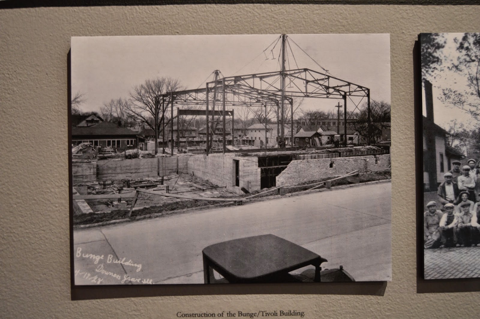
| AIA Illinois posted Today we visit the Tivoli Theater, which opened in 1928 as the second theater in the world designed for sound motion pictures. Designed by Van Gunten & Van Gunten, the building occupies a full block and also contained a bowling center, a game room, a residential hotel, stores, and offices. The French-Renaissance-Style theater originally held 1,390 seats on one floor without a balcony. John McCracken shared |
 |
| Classic Cinemas - Tivoli commented on AIA Illinois' post [Tivoli] continues to be a one screen theatre today and still shares the space with Tivoli Bowl . A full restoration took place in 1992 after the roof blew off! |
The Downers Grove Historical Museum currently has a temporary exhibit until Dec 20 "celebrating 86 years of the Tivoli Theatre."
 |
| 20140912 0043 |


After I looked at the exhibit, I mentioned to the curator that I was disappointed that there wasn't any discussion about their support of sound. She did tell me that it was the first theater designed and built to support "talkies," but it was the second one to play talkies because another theater had already converted to sound. And I remember that it was the first theater in the Chicago area to upgrade to a new surround sound system to uphold their tradition of being on the leading edge of sound support. The most reliable date I have found for that upgrade was 1984, and I remember it as a 7.1 channel Dolby sound system. After the upgrade, for a while, they played a demo just before the main attraction that aurally ran a locomotive through the auditorium, etc. Since then, upgrading has become a standard practice. In 1994 they installed an HPS 4000 Dolby Digital Surround Sound. Today they have 11.1 channels of surround sound. And in 2006 they added a 48-channel sound system with a control booth at the back of the auditorium to support live performances (book signings by celebrities (Alan Alda, Julie Andrews, and today is Jason Segel), Michael Jordan and Michael Philips on the Golf Channel (they closed the theater for a week to prepare for that show), theater organ recitals, dance recitals, school talent shows, Halloween Happening, West Towns Chorus, etc.). During the tour, they said they have installed 4 new digital systems in the last four years. They now support both 3D and Enhanced 4K. Also, the owner's presentation mentioned that the claim for being the first theater designed for talkies was probably just PR. But it was certainly one of the first.
While I was in the annex, I took some pictures of the permanent exhibit that is behind the garage door in the first picture of this post. In the middle of the room is a preserved fire truck. I didn't notice that they had the hood up on one side until I uploaded the pictures. I would have taken a picture of the engine if I had noticed that the hood was up.


Along one wall was an exhibit concerning the old plank road -- Ogden Avenue. The sign did not mention that it was originally a toll road. The reason for planks was to facilitate transport when the ground was muddy. Unfortunately, the planks deteriorated and/or sunk into the mud in just a few years. Since plank roads were the best road technology at the time, their problems is one reason why railroads became so popular so quickly in the 1850s.
I had a hard time getting a picture of the plank because the fire engine pretty well filled up the room.


 |
| Steve Winike posted Ogden Avenue formerly known as “The Old Plank Road” in 1909. Photo courtesy of the Berwyn Historical Society. Brian Hanson: Who else remembers the sounds and smells of cattle trucks heading to the Union Stockyards on Ogden Avenue? We lived near Main and Ogden when we first moved to DG. Brian Hanson: I don't know if there was connection to an actual toll gate on Plank Road, but Tollgate Nursery was on Ogden just east of Belmont road in Downers Grove. It became Wannemakers many years ago. Lisle's website says that the Beau Bien Tavern was at a toll gate. Ogden Avenue History: Ogden Avenue is part of U.S. Route 34, which is an east-west highway that runs from Chicago to northcentral Colorado. Ogden Avenue was originally completed through Lisle in 1850 as Plank Road, which connected Chicago with Naperville and originally served as a trade route from Fort Dearborn to Naperville. This road included tollgates at five mile intervals. One stood at Mark Beaubien’s Tavern/Inn in west Lisle, a convenient day’s journey from Chicago. In 1872, Plank Road was renamed Ogden Avenue after the first mayor of Chicago, and later became part of the U.S. Highway System. |
This 1804 map is a reminder that before the railroads were developed, the waterways were the main mode of transportation. I never thought of the East Branch DuPage River as being an important waterway. I'm reminded that Downers Grove and Naperville were not founded until the 1830s. You can buy a higher resolution copy or go with a black&white copy.
 |
| Growing up in Chicago posted Map of American Indian trails and villages of Chicago, and of Cook, DuPage and Will counties in 1804. Map by Albert F. Scharf, 1900-1901. Villages highlighted in green; principle trails in red and waterways in blue. Paul Rinella: Some of those trails are now major roads like Archer and Milwaukee Avenues. [There are lots of comments concerning the use of the word "Indian."] |
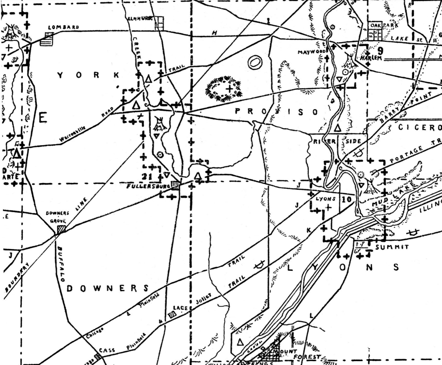
Using the higher resolution copy, I see that 1830s must have been an incorporation date because it is marked on the map. I presume the east/west trail became the plank road. I wonder what the north/south Buffalo Trail became.
 |
| WTTW, cropped |


No comments:
Post a Comment