Waterfront: (
Satellite)
Coaling Tower: (
Satellite, it used to be on some of the leads to the roundhouse)
 |
Jack Bobby Lou Mulreavy updated
Baltimore Inner Harbor-Pennsylvania Railroad yards |
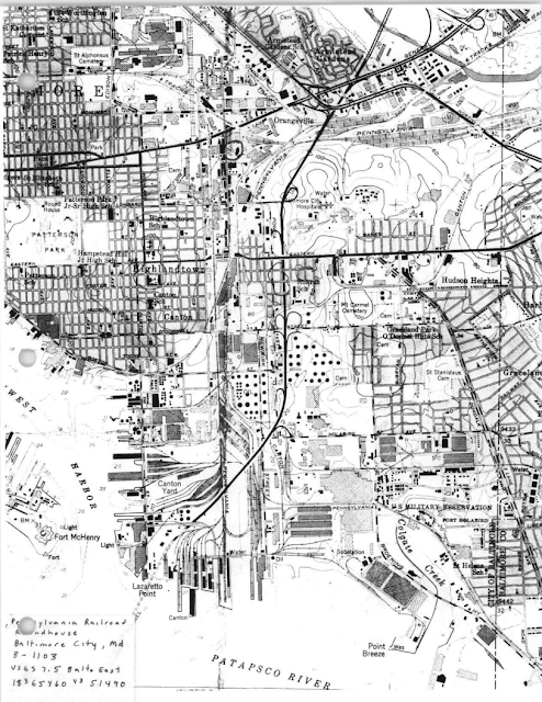
Pennsy had docks and piers on both sides of Lazaretto Point, ferry docks up by Canton Academy and the Bayview classification yard up by Back River. The roundhouse was west of Bayview Yard.
 |
| 1953 Baltimore East Quadrangle @ 1:24,000 |
Jack Bobby Lou Mulreavy posted twelve images with the comment: "Hello everyone- our latest banner photo shows the PRR yards at the Inner Harbor in Baltimore MD. So those who are not familiar with this area can get an understanding of what was there, I present the following material."
Paul O'Brien: Jack Bobby Lou Mulreavy have that book…great read. Thanks for posting. Flew over the Chesapeake Bay Bridge south of Baltimore yesterday. There were 6-7 big bulkers at anchorage waiting their turn to load export coal in Baltimore.
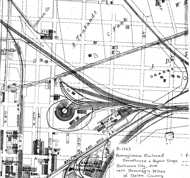
The location of the roundhouse is obvious on this topo map. According to a 1957 aerial photo, there were more than two leads to the roundhouse and the coaling tower was over some of them. In Roger's phto above, I think that part of the roundhouse is peaking out from behind the electric locomotives.
 |
| 1953 Baltimore East Quadrangle @ 1:24,000 |
Bonus Waterfront
 |
Remember When: Maryland and VA WVA posted
The Baltimore Waterfront • Circa 1930s! |
The right side of the above photo is the west side of the "BASIN." Looking at a satellite image, the street has been moved away from the basin to make room for public spaces.
 |
| 1943/63 Baltimore Quad @ 62,500 |


No comments:
Post a Comment