Railpark: (Satellite)
"Feed Mill:" (Satellite)
 |
| Mark Hinsdale posted Over & Under at "MO" When the secondary trackage to the west of Cresson PA still connected to the eastbound side of the ex PRR main line via the flyover. The entire plant was under the control of the operator at "MO." The bridge and tower are long gone, today. Dale V Rockwell: Cresson is still cool, but not even close to THIS cool!! Model board for MO now resides at The Station Inn. Mark Hinsdale posted again Today [Apr 1, 2024,] marks the 48th anniversary of the creation of Consolidated Rail Corporation, or, Conrail, as it came to be known. The U.S. railroad map, and indeed, the entire industry, would be forever changed, for better or worse. Here is a view of "Big Blue" I captured in August, 1994, at Cresson, Pennsylvania, on the ex Pennsylvania Railroad's main line across the Allegheny Mountains. Photo by Mark Hinsdale John Eagan: I never was able to get an angle like that! All of mine were west of the flyover so MO was barely visible. Kudos on a great shot Mark! Mark Hinsdale: Kind thanks, John. Almost an over/under but that eastbound was struggling uphill a bit too much to make it in time. [Gallitzin Tunnel is just a little east of here, so this town is just a little west of the summit.] Mark Hinsdale shared Mark Hinsdale shared Robert Singer: I got paid to watch the trains go by! I had a window seat at Alto, MG, AR, Mo, So, and C! Mark Hinsdale: Robert Singer, I did too! Started as an operator on the C&O in Detroit in 1971. I suspect your views at the towers you mentioned were better than mine, though! 😆 |
 |
| Craig Hensley Photography posted A set of patched Conrail helpers shove on the back of an eastbound freight passing MO Tower in May of 1977. Emery Gulash Photo. |
The secondary branch still connects, but with a wye and crossovers. We can tell where the flyover was from the treelines.
 |
| Satellite plus Paint |
 |
| safe_image for Conrail’s Cresson – Summit of the Alleghenies "A pair of SD40-2 helpers shove eastbound PIAL-3 over the mountain on October 24, 1994. Most of this Conway-to-Allentown freight is now moving downgrade, with the summit of the Alleghenies just east of this location." "Three mainline tracks of Conrail’s Pittsburgh Line, with PRR position light signals mounted to a railroad overpass. MO Tower’s operator could be heard barking out orders to mainline helper sets of SD45-2s to tie on or cut off, fuel and sand at the pit, and so on. Two coal branches radiate out from the area; Conrail’s Irvona Secondary to the northeast and the Cresson Secondary which connected a network of former PRR and NYC branches as well as Bethlehem Steel road Cambria & Indiana." The flyover was removed in 1995 to make room for doublestack container trains. [Two of the photos are of a 15 locomotive consist that arrived and shoved into the engine terminal.] |
 |
| Viral Media posted On one of the longest days of summer, Penn Central train No. 33, the westbound Juniata, drops down into Cresson, PA, after cresting the Alleghenies behind the usual ex-PRR E8. This New York-Pittsburgh day train was basically an ancestor of Amtrak's Pennsylvanian. The following day the troubled Penn Central would declare bankruptcy. June 20th, 1970. Photo Credit to Tom Nelligan. |
Cresson was a hub for Pennsy.
 |
| 1954 Ebensburg Quad @ 62,500 |
 |
| 1989 Cresson Quad @ 24,000 |
Fortunately, John's comment indicates the tower was north (timecard east) of the flyover. Otherwise, I would have concluded it was in the southeast quadrant.
 |
| Apr 4, 1958 @ 28,000; AR1VTC000010030 |
Since Mark's photo shows that it was still standing in 1994, I checked out a more recent aerial. It still looks like it is on the south side instead of the north side. I'm surprised that the aerials are so deceiving.
 |
| May 12, 1972 @ 24,000; AR1VCYN00020174 |
Judging by the 207 photos on Google Maps, the "feed mill" is now a pet, garden and hardware store.
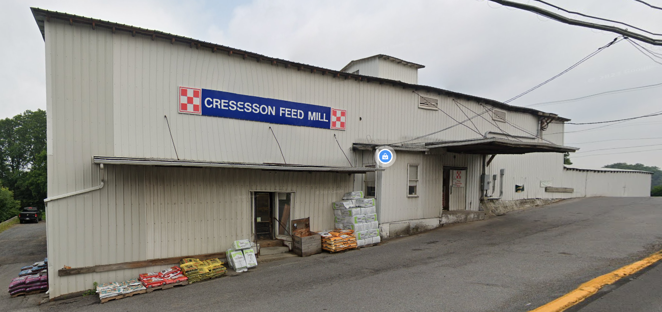 |
| Street View, Jul 2023 |
In addition to a viewing platform, the railpark has a caboose.
 |
| Yetemar-Kenyell Cross, Oct 2022 |
 |
| StormySky Rail Productions posted Pennsylvania Railroad caboose at the railfan park in Cresson, PA. Photo taken in 2022. |
Some of the 269 photos on Google Maps indicate that there is a fueling facility inside the wye. And this satellite image shows that the railyard on the west side of town is still used. I presume that locomotives are refueled out in the middle of nowhere because helpers are still used to get trains up the sides of the mountain.
 |
| Satellite |
No comments:
Post a Comment