Consolidated: (Satellite, the tipple was east of the remnant of a dam.)
#2 Mine: (Satellite?)Consolidated #7, New Monarch Mine
 |
| Roger Kujawa posted Herrin Illinois Consolidated Coal Co. Color Lithograph Vintage Postcard U6501 |

Not only have the railroads and roads changed a lot, they have removed a dam and its lake.
 |
| 1963 Herrin Quad @ 62,500 |
This is the most recent topo that is available, and the lake still exists.
 |
| 1978 Herrin Quad @ 24,000 |
#2 Mine
 |
| Andy Zukowski posted NO. 2 Mine in Herrin, Illinois. 1903 |
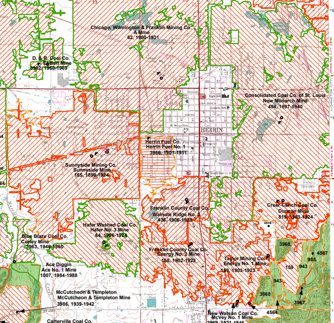 |
| Dennis DeBruler commented on Andy's post This one is a mystery. There were a lot of mines around Herrin, but none of them were #2. https://wikiimage.isgs.illinois.edu/.../topo.../herrin.pdf |
 |
| Dennis DeBruler commented on Andy's post The cartographer didn't bother to add tipple icons to the map. 1910 Herrin Quad @ 62,500 |
No comments:
Post a Comment