These are notes I am writing to help me learn our industrial history. They are my best understanding, but that does not mean they are a correct understanding.
Monday, July 20, 2020
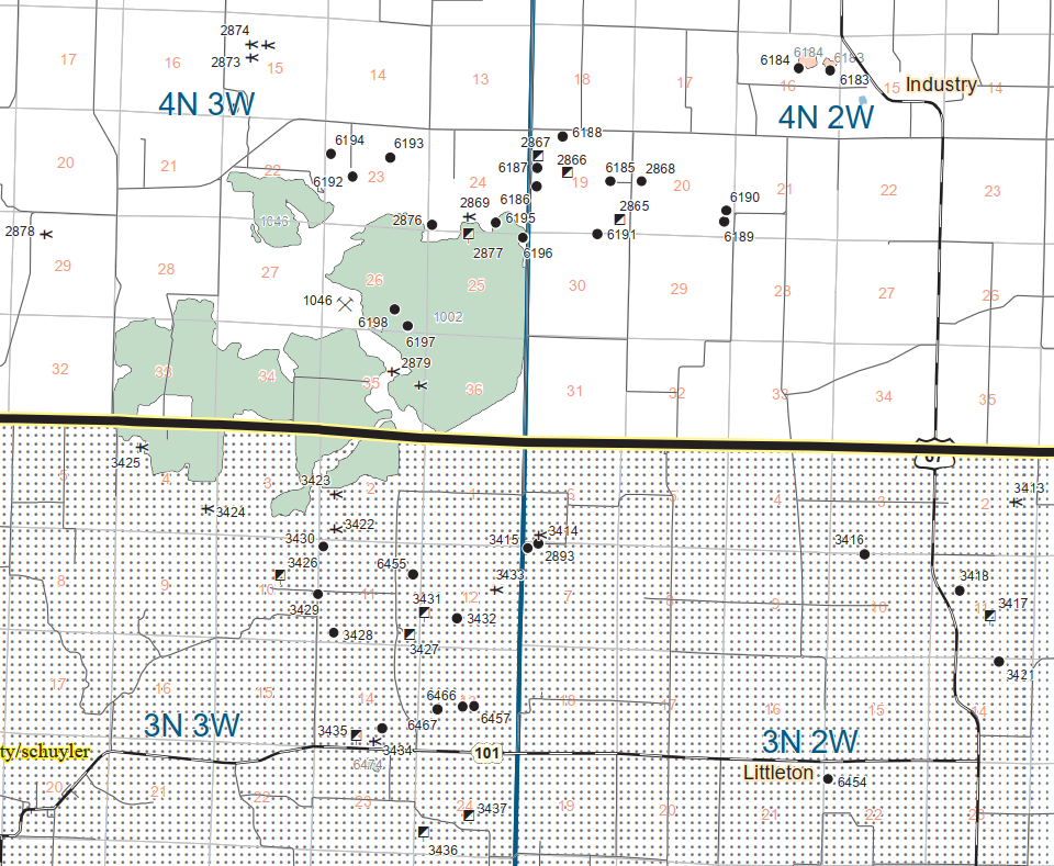
McDonough C: Industry, IL: Freeman United Industry and Black Nugget North Grindstone Coal Mines
Four of 45 photos posted by Kevin Bridle with the comment: "This is the rest of my photos from our 1996 trip to the Industry mine in Illinois. The bulk of the pictures are of the 1050B, enough to have a good stab at a model if you wished, The Kolbe/Bucyrus Erie W3A Bucketwheel is an interesting machine, its lower works were taken from the very first 1050B built so the mine had the first and last 1050's manufactured. The last photos shows a complete dig cycle of the 1050B, from crowd to dump." Kevin Bridle In the end this 1050B was the last operating Stripping shovel in the U.S. Possibly the world, It was still going in 2000. The demand for Its bread and butter, the shallow high Sulphur coal was being superseded by low sulphur coal from the Powder River Basin. with its truck and shovel operations and Walking drag lines which could dig deeper and were to easier to run won the day. Jerry Louis Karr They did truck shovel in the deeper end toward the end of the mine, if I recall. Dennis DeBruler I'm glad you took some overview photos, as well as closeups, because they help me understand how the land was stripped. Mark Bridle They had a Komtasu 1100 loading Cat 660 with Athey trailers.[A photo comment indicated that this shovel has the biggest dipper put on a 1050B, 45 cu yd.]
a
b
c
[This photo shows both units working the mine.]
d
[This was near the beginning of his sequence of photos showing a complete "crowd to dump." Note the drill on the high wall preparing to blast the next segment as the shovel clears out the previous blast.]
I also can't find any rail service to the area. It looks like they started along Grindstone Creek and went south. But, judging from a 1998 aerial, they were almost done with that part by 1998. So did they also do the unmarked green blobs to the West? That land changed between 1998 and 2005 aerials.
1989 Macomb Quadrangle @ 1:100,000
(new window) (source) Freeman United industry Coal Mine Bucyrus-Erie 1050-B in Action VIDEO OF THE LAST 1050B [Note that you can see the wheel of a wheel excavator in the background at 1:51. I noticed the wheel in the background again at 8:29. And you can see the discharge at 9:33.]
(new window) (source) Bucyrus-Erie 10-B in Action at Freeman United industry Coal Mine with the W-3 in the Four Ground Behind the Stripping Shovel also in Action working taking the over Burden off the top of the Coal vein. [This looks like a continuation of the above video and it includes an overview of the pit being dug.]
Tom Austin posted Freeman 4 Mine in the early 1980s…Vintage Aerials.com
Since this mine was operational into the 21st Century, it is worth firing up Global Earth. Normally, the images are at most just a couple of years before 2000, and many of those are not very good. I'm lucky that they have a good 1984 image because it shows the processing plant was here.
Global Earth, Dec 1984
And by 1998 they were almost done with the segment along E 1200th Street and were started on segments further west.
Global Earth, Apr 10, 1998
There were two images taken in Apr 1998. I saved both because I needed the black & white image to compare to Oct 2004.
Global Earth, Apr 11, 1998
But it appears that the land didn't change between 1998 and 2004.
Global Earth, Oct 2004
But it did change after that. I suspect that the Oct 2004 image is a clerical error by Global Earth.
Global Earth, Mar 2005
North Grindstone Mine
I didn't see any significant changes in later images until I noticed there was a processing plant in 2010. I looked closer and it appears they may have reused that land for the processing plant for a sand or gravel quarry northwest of the river. I still don't understand how the material was transported out of the area since I can't find any rail service.
Global Earth, Aug 2007
Actually, it looks like it was another coal mine.
Directory
Global Earth, Jun 2009
Global Earth, Apr 2010
I learned this mine was in McDonough County from a report concerning 300 violations in five years of the Clean Water Act. [gem.wiki] I wonder what has turned the color of one of the ponds to brown.


No comments:
Post a Comment