Pennroad: (
Satellite, PA-696 has been added to this area.)
Lurgan: (
Satellite, fortunately, there is a tree line where the WM branch into town used to be.)
Pennroad (SF) Tower
This tower was at the junction of Pennsy's Cumberland Valley and a connection to the Reading Railroad. Today, just the connection exists. The Pennsy no longer runs north through town like it used to.
Darren Reynolds
posted seven photos with the comment:
PRRs "Pennroad" (SF) tower
Shippensburg ,Pennsylvania
 |
1
The Operator at "Pennroad" tower is Hooping up Train orders to a Conrail coal train. 1981 Photo By: Jim Bradley Bill Schrum: Looks like switch in foreground is normally lined to the right, train is diverging to the left off the Rdg main to a siding. PRR enters from the left from switch at the engine pilot. (corrections?) [There are still two signalling pipelines left.] |
 |
2
With the train order board out a local is doing some switching on the siding at "Pennroad"tower Jan.24,1976 Photo By: Jim Bradley |
 |
3
"Pennroad" towers Model board and interlocking machine. Note The table interlocking machine for Shippensburg Photo By:N&W historical society |
 |
4
Inside of "Pennroad" tower N&W historical society |
 |
5
Operator at "Pennroad" Copying form 19 train orders. June 8,1978 Photo By: Jim Bradley Ken Jamin: I LOVE that patched up old chair!! |
 |
6
Operator lining up the interlocking for the next train. "Pennroad" tower June 8,1978 Photo By: Jim Bradley |
 |
7
PRR steam locomotive #3527 passing "Pennroad" tower. No date DD Barley collection |
 |
| 1942 Shippensburg Quad @ 62,500 |
Lugran (GN) Tower
Darren Reynolds
posted four photos with the comment:
Conrails (EX-RDG) it's now CSX Lurgan Sub.Div.
"Lurgan"(GN) Interlocking and train order office
Shippensburg, Pennsylvania
 |
A Western Maryland train is getting orders at "Lurgan" on August 2, 1964.. And that's "Lurgan" to the left... Photo by: Jim Bradley |
 |
2
The operator at "Lurgan" lines up a move on his CTC machine on August 26, 1979 Photo by:Jim Bradley |
 |
3
A night view of "Lurgan " (GN) on October 26,1979 Note: the train order stand.... Photo by: Jim Bradley |
 |
4
Operator's transfer inside of "Lurgan" and Conrails at work taking out one of the mainline tracks...You can see by the model board.... Photo by: Jim Bradley |
 |
Darren Reynolds posted the above four photos plus this track diagram
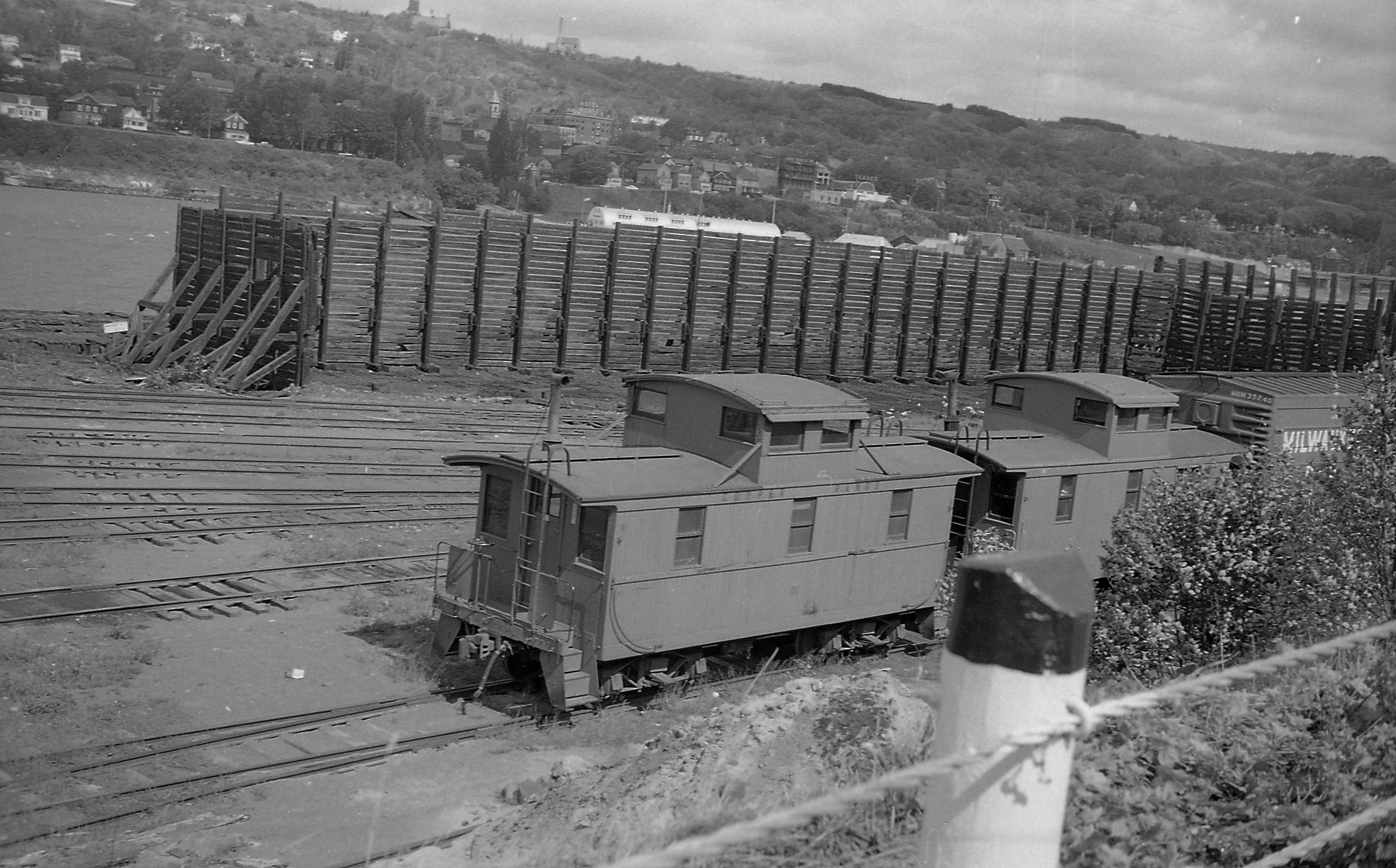
Anonymous participant 163: Ol WM & Reading interchange |
This is where
Alphabet Route trains handed off between WM and Reading. That is why WM is passing by a Reading tower long before railroads regularly interchanged power.
 |
| 1945/45 Shippensburg Quad @ 62,500 |
On the above track diagram, I think North is at the bottom so the tower was west of the wye. Thus I think it is the rectangle with a shadow on the left side of this photo.
This is the WM tracks further West in case I missed something. If I did, please leave a comment.


.jpg)


