Monday, July 31, 2023

Roanoke, IL: 1881-1940 Roanoke Coal Mine

(Satellite)

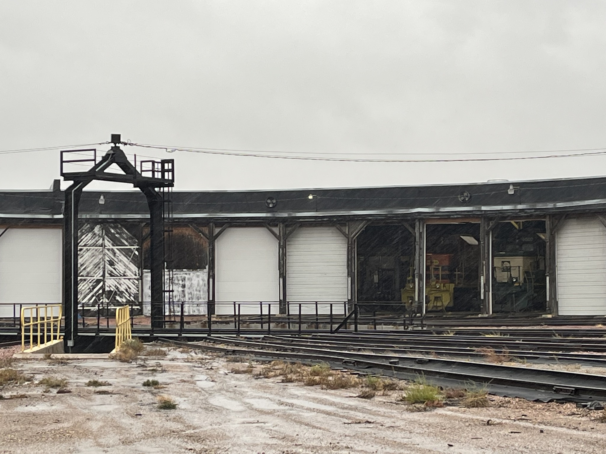
The Santa Fe tracks were just south of IL-116, and the tiple was between the tracks and the mine dump.
 
Andy Zukowski posted
Coal Mine and Jumbo, Roanoke, Illinois. 1916

Jim Yasinski posted
Coal Mine at Roanoke, Illinois
History of Roanoke Mine
http://genealogytrails.com/ill/woodford/roaMine.html#history

Dennis DeBruler commented on Jim's post
https://wikiimage.isgs.illinois.edu/ilmines/webfiles/topo-mines/roanoke.pdf

Dennis DeBruler commented on Jim's post
The intersection of Ann and Douglas Streets is in the upper-right corner of this 1939 aerial photo excerpt.
https://clearinghouse.isgs.illinois.edu/webdocs/ilhap/county/data/woodford/flight6/0bxm02020.jpg

Woodford County Historical Society - Illinois posted
Here is the picture!
Deb Flynn: My Dad told me that this building fell into the mine. No one was hurt.
One Roanoke resident jumped in the mine and fell 500ft to his death
Richard Fiedler shared
Roanoke Coal Co, Roanoke IL.

Back in 2009, the mine dump wasn't completely covered by trees.
Street View, Jun 2009

The tree growth we see today on the dump is recent. I wonder how much of that erosion contained heavy metals.
Google Earth, May 2003

As recently as 2015, vegetation was not happy with the "soil" on that dump.
Google Earth, Apr 2015

And the east side never had any vegetation in any of the views.
Satellite

4 of 10 photos posted by Jan Smith with the comment: "Coal Miner dedication of the Roanoke mine. 4-10-24."
a

b

c

d

Hellertown, PA: Reading Roundhouse

(Satellite)

The grain elevator in the background and the railroad are gone, but the roundhouse is still standing.
Street View, Aug 2011

Jack Norris posted
Hellertown, PA former Reading roundhouse, 2014. Used by public works.

Dennis DeBruler commented on Jack's post
The roundhouse lasted longer than the railroad. The public works is using the former railyard for material storage.
 https://www.google.com/maps/@40.5989037,-75.3431328,393m/data=!3m1!1e3?entry=ttu


Sunday, July 30, 2023

Huron, SD: RCP&E/C&NW Roundhouse and Grain Elevators

Roundhouse: (Satellite)
Old Grain Elevator: (Satellite)
New Grain Elevator: (Satellite)

RCP&E = Rapid City, Pierre & Eastern

Street View, Dec 2021

Chicago & North Western Historical Society posted
Obviously, the roundhouse turntable at Huron, South Dakota. The question is - Did they have to turn the passenger car (a diner?) around after each trip? Is that what the men are doing here?
Raymond Storey shared
Tom Edwards: Since there isn't any wye track on the C&NW in Huron, this the only way to turn a car. BTW - the RCP&E, current owners of the roundhouse, have requested funds to build a new engine maintenance facility in Huron. The current turntable and roundhouse aren't big enough for some of their locomotives. They also plan on building a wye track on the east end of the yard. Here's a link to some more info: https://www.kccrradio.com/.../rapid-city-pierre-and.../
 
John Ashby commented on the above post
Here's what the former CNW roundhouse & turntable looks like a 100+ plus years after it was built today.
10/25/2022

Mark S Smith commented on the above post

Across the tracks from the roundhouse, this town still has an old grain elevator.
Street View, Dec 2021

Obviously, the bins no longer hold grain.
Street View, Dec 2021

Street View, Dec 2021

Street View, Dec 2021

10 of 27 photos posted by Dave Salamon:
1

2

3

4

5

6

7

8

9

10


St. Albans City, VT: NECR/Central Vermont Roundhouse

(Satellite)

NECR = New England Central Railroad

Jack Norris posted three photos with the comment: "The Central Vermont roundhouse and turntable, 1989."
Neo Haven: This is St. Albans, Vermont.
1

2

3

Dennis DeBruler commented on Neo's comment
I see that this the route is now operated by the New England Central Railroad and that they use the roundhouse.
https://www.google.com/maps/@44.8147214,-73.0873626,380m/data=!3m1!1e3?entry=ttu

I found a gap in the trees that allows me to see a locomotive. It looks like the NECR is borrowing the locomotive from its Buffalo & Pittsburgh (BPRR) "sister" railroad.
Street View, Oct 2022

I wonder what the passenger cars on the right are used for.
Street View, Oct 2022


Saturday, July 29, 2023

Antonito, CO: Cumbres & Toltec Scenic/DRG&W Depot, Water Tower and Round Fields

Original Depot: (Satellite)
Tourist Depot: (Satellite, 1,812 photos)
Engine Servicing: (Satellite)
Restoration: (Satellite)
Water Tower: (Satellite)

According to a comment, the Town of Antonito bought this depot in 2006 from the Union Pacific.
Street View, Sep 2012

Friends of the Cumbres & Toltec Scenic Railroad, Inc. posted
The Santa Fe Branch or Chili Line branched off from Antonito, Colorado, and headed south to Santa Fe, New Mexico, via Tres Piedras and Espanola. The line was abandoned in September 1941.
 The Antonito Depot sat between the tracks leading south to Santa Fe and south to Chama. In this photo, the straight tracks are the Santa Fe Branch on the left. The line curving to the west is the San Juan Extension heading to Chama and Durango.
 This undated photo was taken by John W. Barriger III and is part of the Friends’ Historic Photo Collections. FCTS RD016-061 
Simon J Court: Ah, so the existing industrial branch is on the path of the Chili Line.
Robert Wanner: Noticed that the switch is thrown for a standard gauge move onto the narrow gauge line, but the standard gauge didn't extend very far. Just something of interest. In steam days this was most likely to the servicing facilities, water tower, etc. for both gauges. Just saying.
John Franklin: I have often wondered what would have happened if the Chili line wasn't abandoned when it was. Rio Grande could have made extra millions of dollars with all the freight they could have hauled for the atomic bomb project. It was a neat line and a good one to model.
Charles Wells: As the Manhattan project was already underway by the time we entered the war after pearl I have always been very suspicious as to why the line to Santa fe was so hastily abandoned, when it obviously could have been a very useful military supply line. That is exactly why the government kept the Rgs.
Friends of the Cumbres & Toltec Scenic Railroad, Inc.: The line between Antonito and Alamosa was dual gauge for many years.
Terry Boardman: And it was quite common for trains between Alamosa and Antonio to convey both standard and 3 foot gauges vehicles. These could be worked by locomotives of either gauge. There were special “idler” freight cars with additional couplings and air brake connections to facilitate these mixed gauge trains.

Paul Biwer, Sep 2022

The Denver, Rio Grande & Western structures are gone. C&T has built their own facilities out-of-frame to the lower left.
EarthExplorer: Jul 17, 1966 @ 29,200; AR1VBLS00010130

The thing that struck me when I first looked at the old photo was that there was no grain elevator in a small town railroad scene. Then I noticed that this was in Colorado. There are no big wheat or corn fields in the mountains of Colorado. But there are now green fields. Obviously, they are using pivot irrigation.
Satellite

In fact, they are about everywhere where the land is flat.
Satellite

I'm guessing that they are growing alfalfa.
Street View, Sep 2012


Friday, July 28, 2023

Bay City, MI: NYC/Michigan Central Roundhouses and Depot

Wenona Railyard: (Satellite)
Wenona Roundhouse: (Satellite, note the curved foundation remnant on the north side.)
Downtown Roundhouse: (Satellite, note the landscar of the filled in stall pits.)
Depot: (Satellite, north of First Street and between Monroe & Van Buren Streets.)

Michigan Railroad History Conference posted
A view of the New York Central roundhouse in the Wenona Yard at Bay City. This is in the twilight of steam on the former Michigan Central in June 1953. This scene was recorded by Fred Steck with Mikado #1350 and four other locomotives present. A potion of this roundhouse still stands today and is used by a metal fabricator.
Daniel C Carroll Jr. shared

Dennis DeBruler commented on Daniel's share
You can also see the remnants of some stalls for a roundhouse that was in the town.
 https://www.google.com/maps/@43.609119,-83.8940921,177m/data=!3m1!1e3?hl=en&entry=ttu
1916 Bay City Quad @ 62,500

When capturing the stall remnants, I included the MoW equipment. It is good to see evidence of a shortline doing trackwork.
Satellite

Raymond Storey posted
Jim Kelling shared
Bay City, Michigan (Michigan Central)

Dennis DeBruler commented on Jim's share [AR1VDI000110153]
The roads have changed a lot since this 1954 aerial photo was taken. That is why I included the Johnson and 3rd Street Bridges to help correlate the aerial with today's satellite images. The depot was north of First Street and between Monroe & Van Buren Streets.
Jim Kelling: Dennis DeBruler thanks I had trouble finding it on Google earth

Dennis DeBruler commented on Jim's share
The building on the left side of the postcard is extant, https://maps.app.goo.gl/De2ZJNYbsjbuo72P8.
Jim Kelling: Dennis DeBruler probably used for freight or Railway Express Agency