 |
| Jeff Hawkins posted Would like assistance with the context of this slide. Taken in Duluth, MN on August 14, 1964. Where exactly in Duluth are we at? What interlocking tower is this and what interlocking(s) does it control? Any details would be appreciated. Soph Marty Photograph / Jeff Hawkins Collection. Kent Rengo: 46th Ave West just below Grand Ave. Northern Pacific tracks are in the foreground. The Alco is on the approach to the DWP's trestle that ran through the area to the west and their yard. Their was also in interchange with the Soo Line in that location. Mark Engholm: Here is a view that Jeff Lemke has on Flickr from the direction the train in your photo is traveling. You can see how the line increases elevation and then passes over the tracks on it way to the old DWP yard. https://www.flickr.com/photos/jeff_lemke/16428567612 [This web page has a detailed description of the railroads at this junction.] |
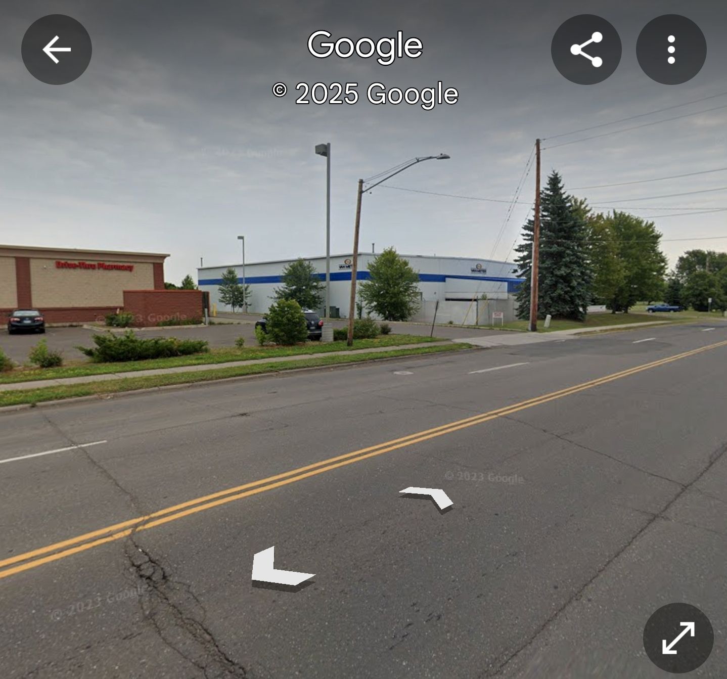 |
| Kent Rengo commented on Jeff's post What that area looks like today. |
The red stripe on the building in this view got painted blue between 2017 and 2025.
 |
| Street View, Jul 2017 |
 |
| 1954/55 West Duluth Quad @ 24,000 |
 |
| Apr 24, 1952 @ 17,000; AR1UD0000060044 |
No comments:
Post a Comment