#5: (Satellite)
 |
| Andy Zukowski posted Coalfield Company Mine #7, Coal City Illinois. C. 1910 |
 |
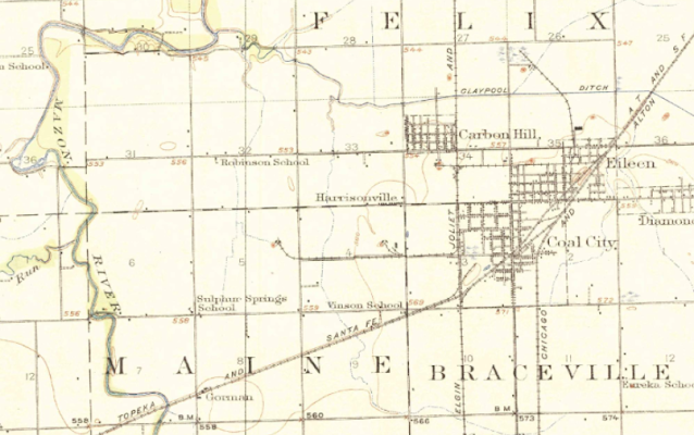
| Dennis DeBruler commented on Andy's post I included the river because the bends in the river helped me correlate this map with a current satellite image. The end of the EJ&E spur off the EJ&E branch going south through coal country was Wilmington Star #7. The tipple in the middle was #5. The dates for #7 was 1904-26. 1918 Morris Quad @ 62,500 https://www.google.com/maps/@41.2821894,-88.3281398,728m/data=!3m1!1e3?entry=ttu Roger Kujawa: Dennis DeBruler That’s cool. Thanks. |
 |
| ISGS |
No comments:
Post a Comment