Replica: (
Satellite, 274 photos. One of the topics of this museum is the Hatfields and McCoys.)
There is also a
West Virginia Mine Wars Museum in a former bank building.
 |
Hatfield and McCoy Feud posted
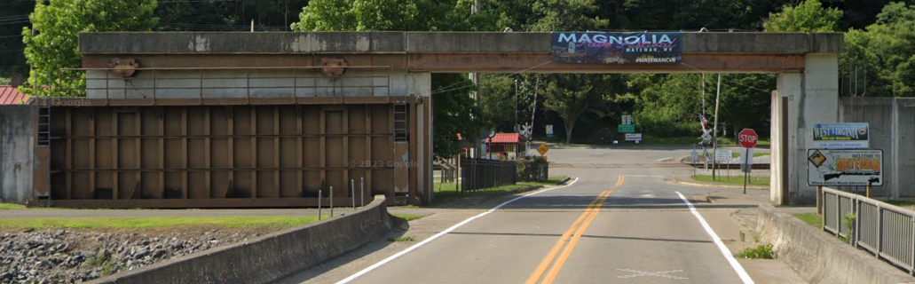
The original Matewan Depot, once the center of commerce and social activity in the small town of Matewan, Mingo County, southern West Virginia.
Jim Kelling shared |
The N&W route to the east was just a branch. The N&W had many "tendrils" around here to serve the coal mines. On a satellite map, that branch looked intact including good road crossings to
here. But the Google Maps road map does not show that route.
 |
| 1928 Matewan Quad @ 62,500 |
While looking at a satellite image, I noticed the town built a flood wall. This view indicates that it was built in 1977.
During moderate floods, the railroad can't be used. During heavy floods, even WV-65 would be closed.
It looks like Bridge Street would be the first road closed during high water.
During heavy floods, all the roads would be gated shut, and it looks like the town would be totally isolated.


No comments:
Post a Comment